Stay up to date with the latest news, safety tips, and community stories from the Carszy network.
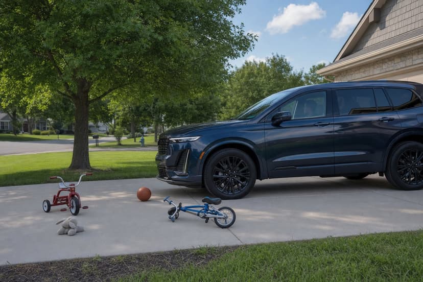
This exhaustive analysis identifies the temporal, spatial, vehicle-geometry, and cognitive causes of heightened pedestrian risk in school zones—especially the 6–9AM and 3–6PM danger windows—and evaluates legislative, engineering, and behavioral countermeasures (LPIs, School Streets, AB 382/20 mph, driver habits) to reduce child pedestrian injuries and fatalities.
This report explains the physics behind winter skids and hydroplaning, catalogs the ten most dangerous intersection patterns, and outlines low-cost, Vision Zero–aligned engineering fixes plus community-driven tech (like license plate messaging and VOIS) that reduce response times, deter hit-and-runs, and build civic accountability.
This report analyzes the mismatch between advanced vehicle automation (ADAS) and outdated intersection design, showing how sensor limits, automation complacency, and hazardous urban geometries combine to worsen pedestrian and crash outcomes; it reviews ADAS benefits and failures, catalogs the ten most dangerous intersection patterns, presents low-cost tactical urbanism fixes, highlights a rising hit‑and‑run crisis, and proposes community-driven tools like Carszy to improve rapid response and accountability.
This comprehensive guide explains how to install, configure, and legally use dashcams for high-fidelity forensic evidence, identifies the ten most dangerous U.S. intersection patterns, and outlines low-cost engineering fixes plus community-driven “Human Media” strategies to accelerate law enforcement response and secure infrastructure improvements.
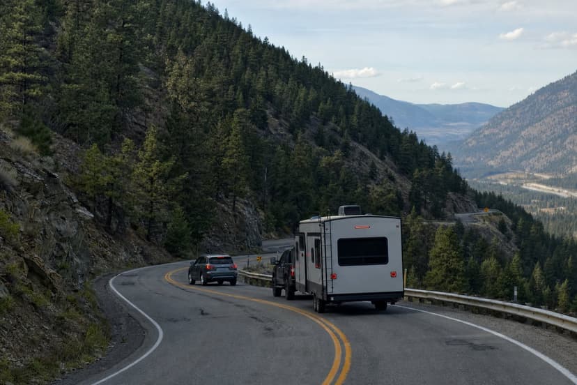
This expert report explains why the zipper (late) merge outperforms early merging under congestion, analyzes the psychology of road rage, identifies the ten most dangerous U.S. intersection patterns, and prescribes proven, low-cost engineering and community-driven interventions—paired with new privacy-first communication tools—to reduce crashes and reclaim streets.
This comprehensive research hub synthesizes federal data, engineering analysis, and community-led solutions to help drivers, parents, advocates, and planners reduce crashes caused by extreme weather and dangerous intersection geometry, combining practical driving adjustments, ten recurring intersection hazard patterns, low-cost municipal countermeasures, and emerging connected-community technologies such as license-plate alerts and crowdsourced vehicle-of-interest searches.
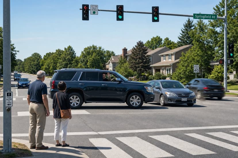
This article analyzes why drivers frequently 'didn't see' pedestrians and cyclists by exploring cognitive illusions (the looming effect and the illusion of absence), how modern vehicle design amplifies blind zones, the ten most dangerous intersection patterns, low-cost tactical urbanism fixes (like daylighting and LPIs), behavior-change strategies for drivers, and community technology platforms (e.g., Carszy) that enable rapid accountability and hit-and-run mitigation.
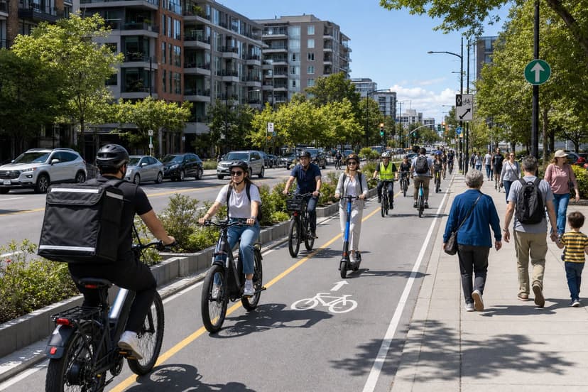
This modern driver's guide analyzes the rise in pedestrian fatalities, identifies the three highest-risk school zone moments and the ten most dangerous intersection patterns, and offers a low-cost traffic-calming playbook plus community-centered tech (Human Media™) tactics to reduce risk now.
This expert guide explains how bystanders should safely respond to vehicle crashes, document forensic evidence, avoid legal pitfalls of social media, use dashcams and privacy-focused community apps, and advocate for ten proven, low-cost intersection design fixes that reduce fatalities and hit‑and‑runs.