The Neighborhood is the New DOT: How Apps are Decentralizing Road Safety in 2026
We’ve all been there. You’ve noticed the same silver SUV blowing through the crosswalk at 8:15 AM every morning while kids are walking to school. You call the city. You wait. You attend a council meeting. Six months later, you’re told a "traffic study" is being commissioned.
In 2026, the "wait and see" era of road safety is officially over.
The shift toward Community-Led Traffic Safety (CLTS) is transforming our streets from top-down bureaucracies into decentralized, tech-driven ecosystems. By turning smartphones into neighborhood operating systems, we aren't just reporting problems; we’re designing, funding, and documenting the solutions ourselves.
From Petitions to "Sentiment Heatmaps"
The old way of measuring road safety relied almost exclusively on "blood on the asphalt"—waiting for a crash to happen before justifying a change. Today, the toolkit has evolved.
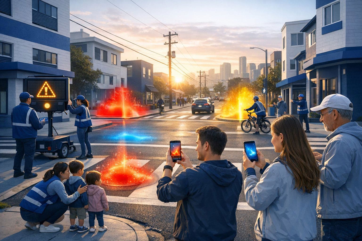
Sentiment Heatmaps are the new gold standard for bottom-up intervention. Instead of just tracking accidents, residents use apps to log "near-misses," aggressive driving, or areas that simply feel unsafe.
- The Data: If 50 parents mark a specific corner as "high-anxiety" due to poor visibility or repeated speeding, that data carries weight and can even support how they report road rage and dangerous driving effectively.
- The Visual: These maps provide a visual narrative that city planners can't ignore, highlighting the psychological toll of dangerous driving long before a tragedy occurs.
The Power of AR Overlays
One of the most exciting shifts in 2026 is the use of Augmented Reality (AR) overlays. Before a single brick is laid, neighbors can use their phone cameras to visualize "daylighting" (removing parking near corners), curb extensions, or even temporary bollards in front of schools.
"AR turns a technical engineering concept into a participatory digital workflow. If the community can see how a bump-out saves lives without ruining traffic flow, the path to approval is cut in half."
The Hidden Bottleneck: Volunteer Logistics
The biggest killer of neighborhood safety projects isn’t a lack of passion; it’s a lack of organization. This is where the transition from "social media" to Human Media™ becomes vital.
CLTS programs are now using apps as project management hubs to solve the logistics of:
- Volunteer Shifts: Who is monitoring the school zone today, and who is ready to help document incidents or reckless behavior when it happens?
- Asset Tracking: Where are the community-funded radar signs located, and which corners already have cones, yard signs, or temporary traffic-calming tools?
- Real-Time Alerts: If a specific vehicle is flagged for repeated reckless behavior, tools like Carszy’s License Plate Messaging allow the community to send a firm, anonymous "We see you, please slow down" alert directly to the driver.
Comparing the Old vs. the New
| Feature | Traditional DOT Approach | Community-Led (CLTS) |
|---|---|---|
| Response Time | 12–24 Months | 1–3 Months |
| Funding Source | General Tax Fund | Micro-funding & Grants |
| Data Type | Historical Crash Reports | Real-time Sentiment & Photo Logs |
| Accountability | Law Enforcement Only | Community-to-Driver (Human Media™) |

Micro-Funding and the "Civic Evidence Vault"
Money used to be the brick wall. Now, apps are integrating transparent project accounting. Neighborhoods can track permit fees, crowdfund for physical traffic-calming bollards, and manage the budget in real time.
But even with the money, you need the city’s "OK." That’s where the Civic Evidence Vault comes in. By creating a centralized, compliance-ready repository of photo logs, labeled assets, and clearly documented complaints, communities can present a "ready-to-approve" package to their local Department of Transportation.
When you show up with a year of timestamped data, high-resolution imagery of violations, and a fully funded plan, you move from "complainer" to "partner."
How Carszy Fits the 2026 Safety Model
At Carszy, we believe accountability is the ultimate deterrent. Our platform supports the CLTS movement by bridging the gap between observation and action:
- VOIS™ (Vehicle of Interest Search): If a neighborhood watch identifies a vehicle involved in a hit-and-run or chronic speeding near a school, the community doesn't just wait for the police. They mobilize.
- Privacy-First Accountability: Because we use license plates as identifiers on US-based, secure servers, neighbors can communicate with drivers without exchanging personal phone numbers or names.
- Real-Time Reporting: Logging dangerous driving through the app builds the "evidence vault" that neighborhoods need to demand permanent infrastructure changes.
FAQ: Isn’t this just "digital vigilantism"?
There’s a fine line between safety and harassment. The CLTS model in 2026 isn't about "punishing" drivers; it's about documentation and direct communication. By using tools like Carszy, the goal is to reduce law enforcement response times for critical issues while handling "quality of life" safety issues through community accountability. It’s about building a culture where drivers know they are being watched—not by a faceless camera, but by a neighbor who cares.


